Seven parcel tests can distinguish workable beach house plans from an expensive mismatch. A plan may have the right rooms and proportions yet fail because its footprint, foundation, roof height, driveway, or license terms do not suit the site.
Key takeaways
-
Test the parcel before judging the floor plan.
-
Draw setbacks, easements, parking, height limits, and hazards on one survey base.
-
Treat stock foundations and generic code notes as assumptions that require local review.
-
Buy, modify, or reject the plan only after its major conflicts are visible.
The seven-test map
-
Confirm basic parcel fit.
-
Draw the legal building envelope.
-
Investigate flood, bluff, soil, and groundwater conditions.
-
Check locally adopted codes and amendments.
-
Test access, parking, utilities, drainage, and construction space.
-
Compare the plan with the parcel constraint by constraint.
-
Commission a limited feasibility review before purchase.
Can a stock beach house plan actually fit a California coastal parcel?
A stock plan is worth buying only after you test its footprint, roof height, parking, foundation concept, and access against the parcel.
A California label does not make beach home plans parcel-ready
Start with the address, assessor’s parcel number, recorded documents, and a current boundary and topographic survey. In San Diego County, assessor property information can start the research, but an assessor map prepared for tax administration is not a boundary or topographic survey.
-
Compare surveyed dimensions with the plan footprint.
-
Check roof height, garage geometry, and foundation assumptions.
-
Identify the city, county, and coastal-review authorities.
-
Read the seller’s license, modification, file, and refund terms.
Buy if the plan needs limited changes, modify it if defined deficiencies can be corrected, or reject the pairing if structural and entitlement work erase its value. That is when a stock plan needs a local custom-home team. Next, test the legal envelope.
The legal building envelope should be tested before the floor plan
The usable envelope comes from zoning, the applicable Local Coastal Program, easements, permit findings, and local height-measurement rules, not just the property lines.
-
Confirm use, lot coverage, floor area, setbacks, height, parking, and design-review triggers.
-
Check coastal jurisdiction, permit history, appeal status, hazards, public access, habitat, and other parcel-specific policies.
-
Research recorded access, utility, drainage, conservation, and development restrictions separately.
Setbacks, height, and parking belong on one parcel diagram
Place required yards, easements, parking stalls, driveway geometry, restricted areas, and the local height datum on a scaled survey base. Request a written planning interpretation if setback, height, or lot-coverage language is unclear.
For San Diego County parcels, the Assessor, Recorder, County Clerk property records provide maps and property information. Researching recorded documents remains a separate task, and one index search may not reveal every restriction. Even a plan that fits the legal envelope can fail when coastal hazards change its foundation.
Flood, bluff, soil, and groundwater conditions can invalidate a stock foundation
Check coastal hazards before accepting the slab, crawlspace, basement, or piling concept shown in stock coastal house plans.
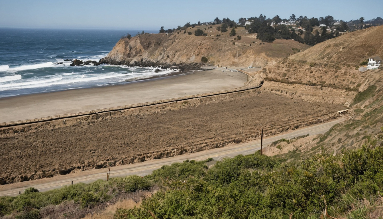
Flood, bluff, soil, and groundwater conditions can invalidate a stock foundation shown with transport, entry, and visitor-movement context.
When are elevated floors or deep foundations necessary?
Elevated floors or deep foundations may be necessary when current flood mapping, the local floodplain ordinance, scour exposure, weak soil, settlement, or groundwater rules out the stock detail. Confirm the applicable map panel, flood information, required floor elevation, and map revisions with the local floodplain administrator. A geotechnical professional should address soil capacity, fill, drainage, groundwater, settlement, and preliminary foundation options.
Bluff and shoreline parcels need a longer hazard view
Plot the surveyed bluff edge or shoreline, drainage paths, prior grading, and mapped landslide, fault, liquefaction, and tsunami conditions. Ask the permitting authority which erosion, bluff-retreat, shoreline-protection, sea-level-rise, and project-life analyses apply. Once the site supports a workable elevation and foundation concept, test it against local codes.
California code compliance must be checked against the locally adopted edition
Stock coastal house plans are not construction-ready just because they cite a model code or include a generic engineering note.
Translate exposure into specifications
A California-licensed professional should establish the applicable wind criteria, seismic parameters, exposure category, rainfall, temperature assumptions, energy requirements, and mapped wildfire provisions. Those findings affect structural connections, glazing, roofing, fasteners, exterior metals, coatings, decks, balconies, guards, and waterproofing.
Local amendments can outweigh the seller’s code note
Identify the building, residential, electrical, mechanical, plumbing, energy, green-building, and fire codes effective on the intended application date. Review local amendments and agency submittal lists for sprinklers, fire access, glazing, grading, drainage, special inspections, and separate civil or fire reviews.

California code compliance must be checked against the locally adopted edition shown as a destination-specific travel planning reference.
This is how California residential codes change familiar house concepts: calculations and details can change while the recognizable plan remains. Next, test physical access.
Access, parking, utilities, and construction space can rule out an otherwise fitting plan
A plan may fit the envelope yet fail because vehicles, emergency equipment, utilities, drainage, or construction machinery cannot use the parcel as drawn.
A garage-forward plan may fail on a narrow or steep approach
Overlay the plan on a survey showing the curb, road grade, driveway slope, garage setback, gate, parking spaces, and turning area. Then verify:
-
Legal access, curb-cut approval, driveway geometry, and emergency turning.
-
Water, sewer or septic, power, gas, and communication connections.
-
Roof drainage, grading, stormwater controls, and erosion protection.
-
Working space for excavation, cranes, materials, workers, and any public-way permits.
A plan-to-parcel comparison will show whether fixing these conflicts remains a modification or has become a redesign.
A plan-to-parcel matrix reveals whether modification has become redesign
A constraint-by-constraint matrix shows whether beach cottage plans retain enough usable design value to justify buying them.
Test dimensions, systems, and approvals
Compare the stock footprint, setbacks, height, floor elevation, foundation, drainage, parking, access, structure, utilities, energy assumptions, and coastal findings with parcel evidence. For every conflict, record the source, required revision, responsible professional, and status.
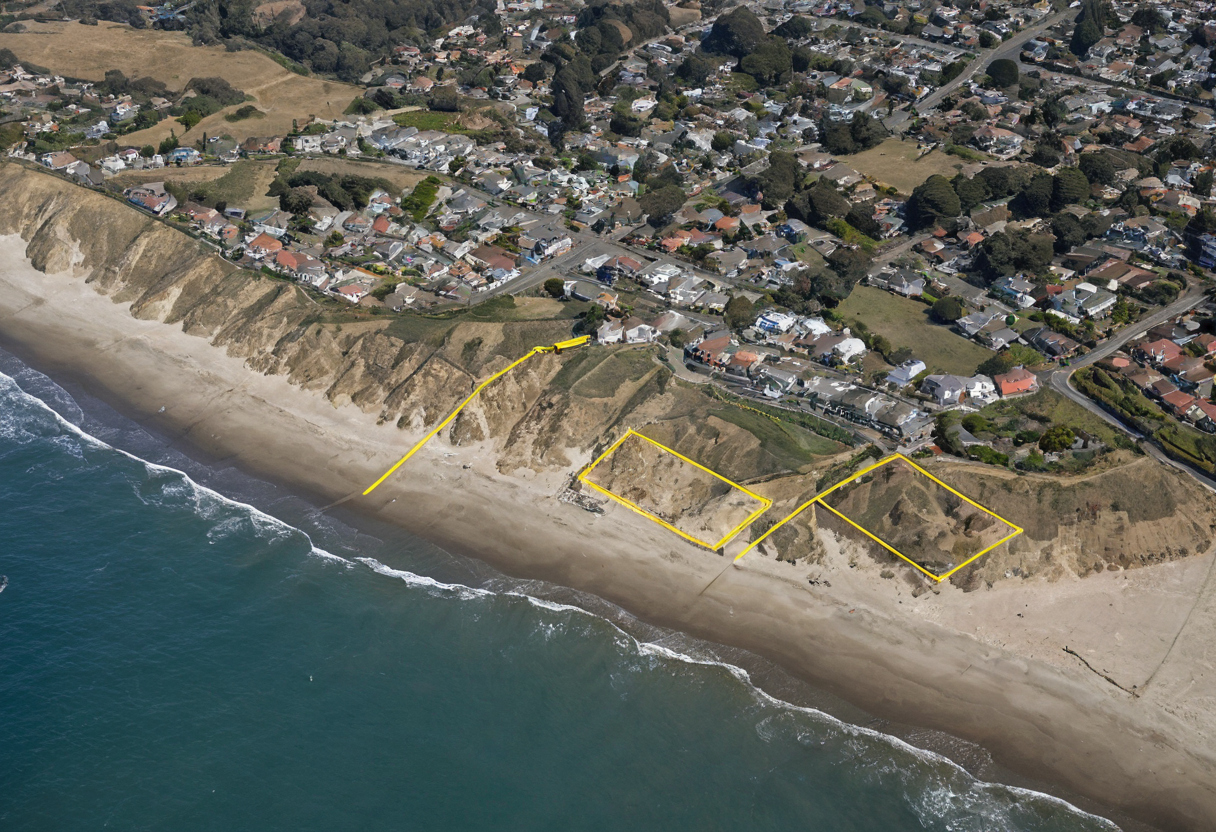
A plan-to-parcel matrix reveals whether modification has become redesign shown with relevant destination, access, and visitor conditions.
Use dimensioned plans and elevations rather than marketing images. Mark each revision as minor, substantial, or full redesign, and confirm that the seller permits derivative drawings and supplies the files needed for modification.
Layout mistakes emerge when the site is ignored
Rotation, raised floors, relocated garages, and changed foundations can lengthen stairs, expose entries, displace service rooms, reduce privacy, or place large windows against prevailing weather and neighboring homes. A limited feasibility review should resolve these conflicts before payment.
Buy the stock plan only after a limited California feasibility review
Commission a bounded feasibility review before buying the plan instead of paying for complete design work at the outset.
What should the package contain?
Request a parcel constraint drawing, agency list, preliminary code criteria, hazard flags, stock-plan overlay, modification assessment, and record of unresolved questions. The scope should assign conclusions to the architect, surveyor, geotechnical consultant, engineer, or fire-access specialist qualified to make them.
Request comparable scoped proposals
Compare professional proposals using the same deliverables, assumptions, exclusions, and schedule. Separate feasibility from surveying, geotechnical investigation, engineering, energy documentation, civil design, permit documents, agency fees, and construction administration. Then compare that work with the plan price, modification fees, editable-file policy, license restrictions, refund terms, and excluded consultant documents.
Record one decision: buy unchanged, buy and modify, negotiate additional files, commission a custom design, or reject the parcel-plan pairing.
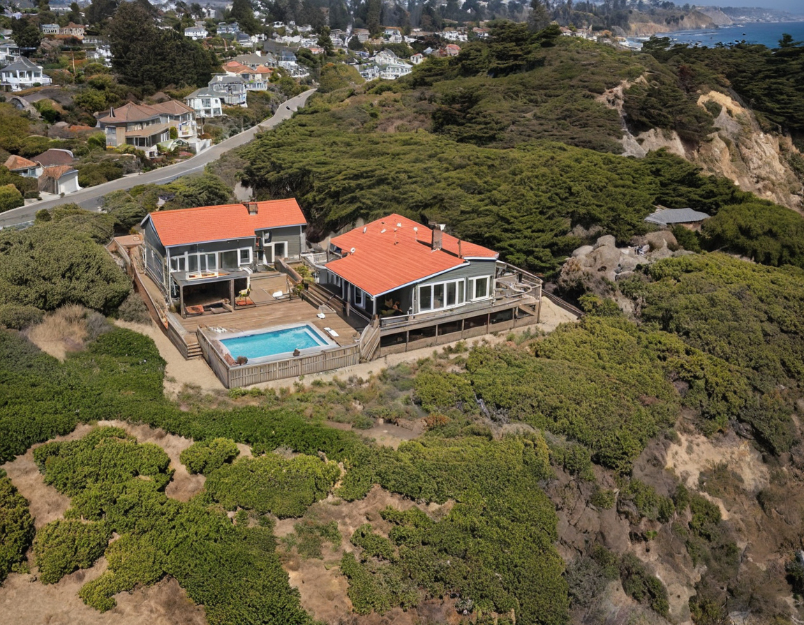
Buy the stock plan only after a limited California feasibility review shown with transport, entry, and visitor-movement context.
Frequently asked questions
These answers sum up the decisions to verify before purchasing stock beach home plans.
What site considerations matter most?
Start with the legal envelope, coastal hazards, foundation feasibility, local code criteria, driveway geometry, parking, drainage, utilities, and plan-license restrictions.
Before purchasing a plan, take its dimensioned drawings and license terms to a local professional for a parcel-specific review. The goal is clarity: know whether to buy, modify, negotiate, design from scratch, or walk away.